
The Pac Tom documentary!
(28 Dec 2022)
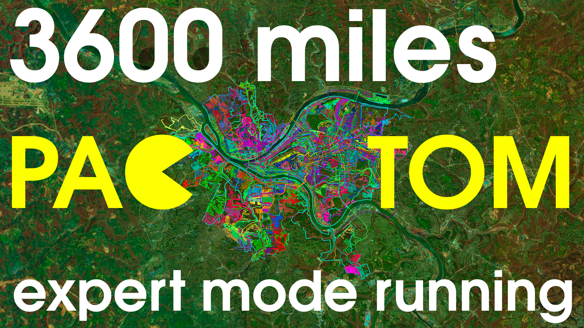
It is done! I finished the Pac Tom project to run the length of every street in Pittsburgh in October, and (yes it took months) also this video documenting the project and finale:
How I ran the length of every street in Pittsburgh: PAC TOM
The Pac Tom site now has the final data, but the video is the definitive way to see it!
I added the downloadable Soundtrack for completionists. I was horrified to find, when watching this video with some friends after I uploaded, that I had accidentally muted one of the audio tracks for the "final" version. You can rectify this by playing "Street (Trap Remix)" at exactly 11:58.
More updates...